Creating coastlines using data science
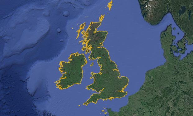
...in producing much higher resolution data, that could then improve upon the accuracy and currency of other freely available coastline data sets. This method needed to be fully automated, repeatable...
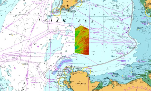
...sheet covered an area of 840,00 km2 and contained enough ice to raise global sea levels by 1.8 m(1). The present-day Greenland Ice Sheet with protruding nunataks. An analogue...