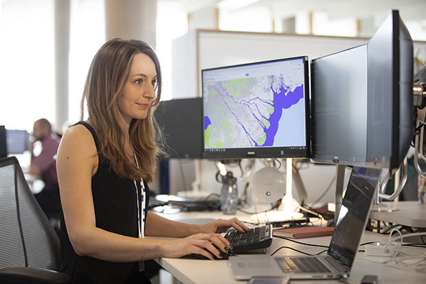
From port operators that support our shipping industry to conservationists working to protect critical marine environments, many of those who use our coasts depend on geospatial data to make good decisions.
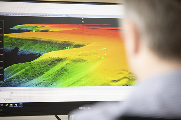
However, generating an accurate picture of the coast can be extremely difficult, as this is a place where many different geospatial data sets coincide. Land surveys typically stop on the beach at the point before the surveyor’s feet get wet, and bathymetric surveys stop before survey vessels run aground. In addition, these two types of survey typically comply to different standards, use different datums and are conducted by a range of different organisations.
This can make it extremely difficult to bring data together and create a complete picture that supports better use of our coastal environment.
Coastal Zone Mapping Project
Recognising this, the Geospatial Commission has recently launched the Coastal Zone Mapping project. With representation from British Geological Survey (BGS), Department for Environment, Food and Rural Affairs (DEFRA), Environment Agency, Natural England, Ordnance Survey and the UK Hydrographic Office, the project aims to create a better understanding of challenges faced by coastal data users and find new ways to overcome them.
The issues
This project started with a workshop and a series of interviews with different data users, where we discussed the issues they currently face. The workshop included input from a range of different organisations, including the Channel Coast Observatory, the National Trust as well as some local authorities, coastal engineers, academia and port operators, with further interviews reaching the wider community. We found that many of these users faced similar challenges:
- Terminology, standards and formats weren’t common across coastal data sets, making it hard to create an accurate picture of the coastline
- The collection of data around the coast wasn’t coordinated which led to significant overlaps in some areas and gaps in others
- There was a lack of historical data that could help calculate rate of change, or be used to create/validate models which predict coastal change
Users wanted the project to help them overcome these issues, creating data sets that were repeatable, interoperable, discoverable and accessible.
Our recommendations
This input and wider discussion was really valuable and helped us to build a good understanding of the issues faced. Using this, we’ve developed a series of recommendations for future Geospatial Commission projects that could improve coastline data sets. These recommendations included:
- Create a ‘best practice’ guide for users and collectors of coastal geospatial data from occasional users through to qualified collectors. The guide will assist users finding the most appropriate data, explain which datums and standards meet their needs, and outline which tools can be used to assist them. For collectors of coastal geospatial data, it will recommend standards and formats to match the needs of users, suggest locations to store/publicise their data to aid its discoverability, and describe the needs of the core users of coastal data.
- Coordinate the capture of coastal geospatial data in the UK by gaining a better understanding where data is being captured, at what standard, for what purpose and at what frequency. This will also involve understanding the users of this data, their requirements and where their needs are not being met, and comparing these outputs to identify overlaps and gaps to inform coordination activities with collectors.
- Complete an ‘as is’ assessment of the UK coastal geospatial data holdings, to publicise what data is held and where (including historical data) so that integration, discoverability and access to this data can be improved. This should improve the collection of data used for modelling of coastal erosion rates, flooding inundation, impact assessments and other coastal management functions.
Next steps
We are now looking to get feedback on these recommendations from coastal data users to help us prioritise projects that will have the greatest impact . This includes further consultation with partner organisations mentioned in this article. But we’d also like to get feedback from the wider community.
Do these recommendations resonate with you? Or have we missed a larger challenge?
You can send us your feedback by joining our Geospatial Commission LinkedIn group and take part on discussions relating to this topic and others. You can find this group here