Search results for VIPREG betwinner latest promo code Malaysia
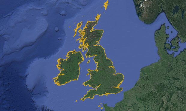
...latest projects combines satellite imagery and computer vision techniques to enable us to automate the creation of new coastline data. A new coastline data set Automating the creation of coastline...
...of those who depend upon them. We are currently hiring. If you are interested in helping support our UX vision, find out about our latest UX roles and apply now....
...provision of data into the programme over the coming decade. Contributing your views The Seabed 2030 team are also looking for your support with their latest survey on the environmental,...
Ocean Science is at the core of our day-to-day activity at the UK Hydrographic Office (UKHO). Our world renown experts harness the latest data science innovations and marine data insights...
...landforms. It is possible to explore the latest glacial maps of Great Britain and Ireland and even to download the data. These are available through the BRITICE-CHRONO project(3) References:...
...the work we are doing as part of the ECS Project Team, and the latest update on our plans for the continuation of providing paper charts, on our ADMIRALTY website....
...that support uncrewed Maritime Autonomous Surface Ships (MASS). To help tackle this issue, the UK Hydrographic Office along with the MASS community is exploring potential solutions that utilise the latest...
