Data principles: plotting a course to data governance

...learnt to see what we do in a new light. Where once it was possible to treat information as ‘raw material’ for a production process, we are now managing it...

...learnt to see what we do in a new light. Where once it was possible to treat information as ‘raw material’ for a production process, we are now managing it...

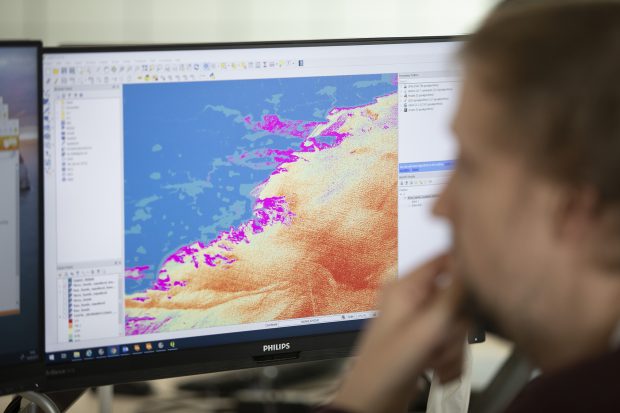
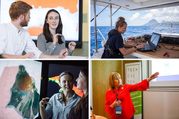
...discover how new technologies are being used so widely across government and share what we have been working on. We were there to present our work on detecting uncharted hazards...

...increasingly reliant on our ocean resources to meet the needs of today’s fast-changing world, particularly with growing industries such as maritime trade, tourism and renewable energy, as well as new...

...faced by coastal data users and find new ways to overcome them. The issues This project started with a workshop and a series of interviews with different data users, where...

...do about the seafloor. But recent years have seen increased ocean exploration, which has led to the discovery of previously untapped resources: new medicines, genomes, food and energy resources, and...

...recently gave a fantastic talk on her experience delivering the UKHO’s new Headquarters in Taunton. Jo shared her past qualification for the role, as well as her challenges both professionally...

...publicly funded data, and championing a more integrated marine geospatial sector in the UK. The UK CSM is a key enabler in the new 'UK National Strategy for Maritime Security',...

...UK CSM members will be able to collectively use marine geospatial information to usher in a new era of ocean stewardship, and policymakers will be able to set the agenda...
Enter your email address to: subscribe for updates when new posts are published manage your existing subscription. Submit Please read our privacy notice to see how the GOV.UK blogging platform...

...the publication of a new report: ‘Why should we share data’? This downloadable resource highlights the value of data held by hydrographic offices, and the benefits of sharing this data...