Collaboration day - developing a community of learning
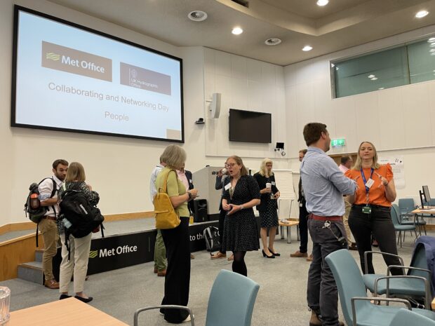
...or gaps that could be improved by the other organisation’s strengths or by developing something new together. Each group left with a set of actions or points to develop. Joe...
...or gaps that could be improved by the other organisation’s strengths or by developing something new together. Each group left with a set of actions or points to develop. Joe...

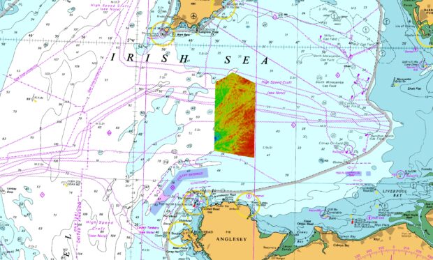
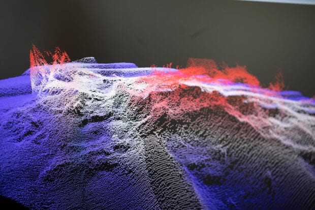
...is complete and processed, it will be assessed as part of a validation process by the UKHO. Once the data passes validation, it can be used to produce new navigational...
...former direction of ice flow was from northeast to southwest. Image credit: UKHO (2022). Arguably the most impressive subglacial landform in the newly surveyed area is the extensive field...
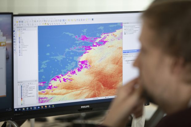
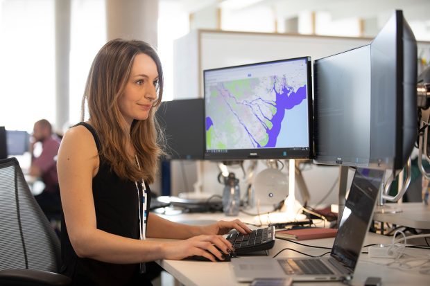
...latest projects combines satellite imagery and computer vision techniques to enable us to automate the creation of new coastline data. A new coastline data set Automating the creation of coastline...
...learnt to see what we do in a new light. Where once it was possible to treat information as ‘raw material’ for a production process, we are now managing it...
...discover how new technologies are being used so widely across government and share what we have been working on. We were there to present our work on detecting uncharted hazards...
...users. From building on our teams’ digital skills to exploring the value of machine learning and other data science techniques, this new approach is changing the way we collate, process...

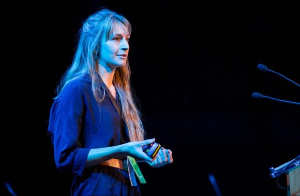
As a Scrum Master at the UKHO, I work with teams of people to help them focus on delivery and user needs. Part of my job is to inspect what...
...faced by coastal data users and find new ways to overcome them. The issues This project started with a workshop and a series of interviews with different data users, where...
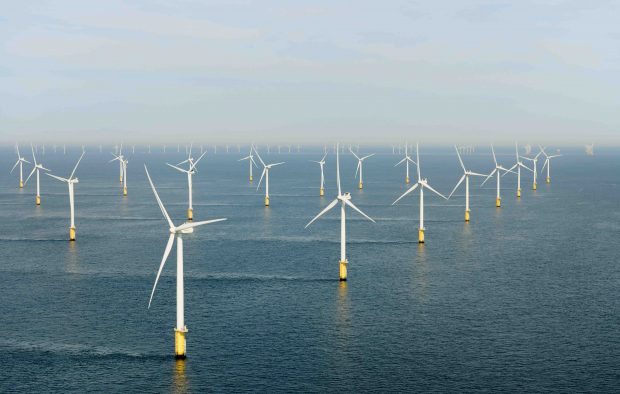
...do about the seafloor. But recent years have seen increased ocean exploration, which has led to the discovery of previously untapped resources: new medicines, genomes, food and energy resources, and...