Creating coastlines using data science
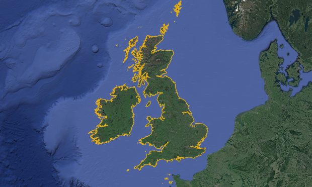
...we were able to select the ‘best pixel’ for every individual pixel location. By combining all the best pixels, we created a single image of the whole area that was...
...we were able to select the ‘best pixel’ for every individual pixel location. By combining all the best pixels, we created a single image of the whole area that was...
...Data Framework, we have recently launched a number of trial data sets for S-100 data, including S-100 (Electronic Navigational Charts) and S-102 (Bathymetric Surface). By launching this trial data, we...
...provision of data into the programme over the coming decade. Contributing your views The Seabed 2030 team are also looking for your support with their latest survey on the environmental,...
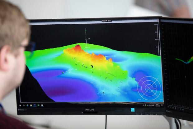
Ocean Science is at the core of our day-to-day activity at the UK Hydrographic Office (UKHO). Our world renown experts harness the latest data science innovations and marine data insights...
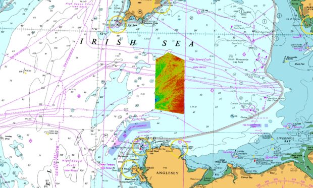
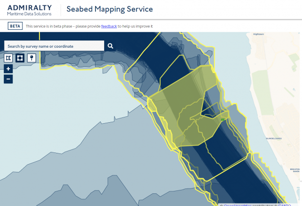
...data sets collected off North Wales in the Irish Sea. Location of HI1706 overlaid on Chart 1121: Irish Sea with Saint George’s Channel and North Channel. Image credit: The...
...who rely on electronic and paper charts for navigation, represent a diverse range of vessel types, users and navigation requirements, in the UK and around the globe. The UKHO’s public...
...Shipping Week (LISW) 2023. At the event, our panel of experts discussed how, as we move towards fully autonomous ships, the traditional approach of humans on board using standard digital...