Creating coastlines using data science
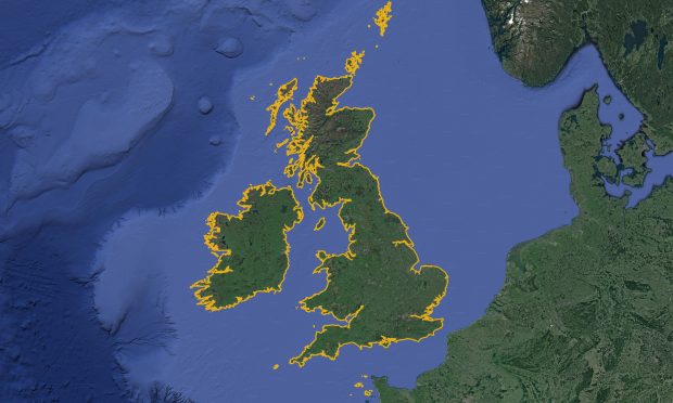
At the UKHO, we use data science to gain valuable insight into the data sets we hold and further our understanding of the marine environment around us. One of our...
At the UKHO, we use data science to gain valuable insight into the data sets we hold and further our understanding of the marine environment around us. One of our...
...data sets, making them useful in many applications. Access to marine spatial data creates opportunities Routinely and proactively releasing quality data makes it available to governments, aid agencies, commercial users,...
...UK CSM members will be able to collectively use marine geospatial information to usher in a new era of ocean stewardship, and policymakers will be able to set the agenda...
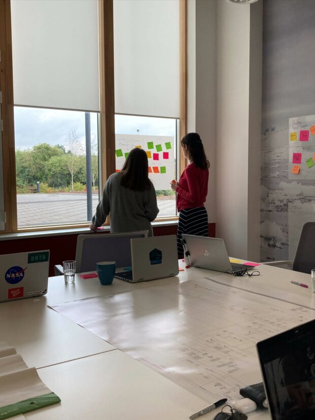
...the shift in their mindsets in the week to ‘what would the user do / need’ was great. Encouraging user-centred problem solving Innovation and the promotion of user-centred techniques to...
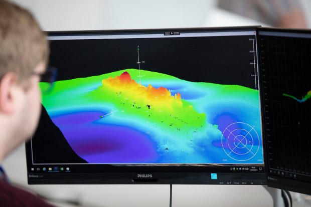
...Hydrographic Office, we specialise in this data and have released bathymetry for UK waters as part of our Seabed Mapping Data Service. We will now also use our expertise in...

...needed to change, so we decided to bring the development of this system in house – something that really kickstarted our digital transformation. By forming a small team to work...
...for 2017 to 2018. We will use this blog to keep you up to speed on all things digital at UKHO. It will enable us to share information across government...