Using crowdsourcing to improve navigational safety
...Built for both Android and iPhone, the app allows the user to easily select the observation type and use their device’s built-in camera and GPS to help gather location information...
...Built for both Android and iPhone, the app allows the user to easily select the observation type and use their device’s built-in camera and GPS to help gather location information...
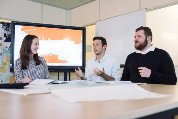
...journey towards providing a more positive experience for our users began with our early adoption of user research. By engaging with mariners and wider user groups, we have been able...
...needs to be mapped to modern standards. In the South West Pacific, this figure moves up to 95%. Without this data, coastal nations lack the information they need to support...
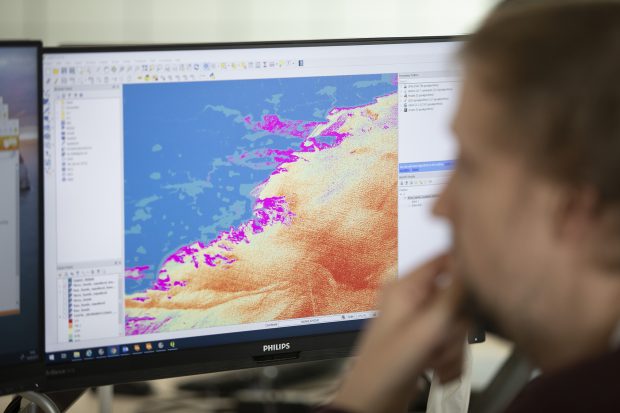
...understanding of our changing climate and the effect it has on the marine environment. Unfortunately current models use data that is up to 80% incomplete, with calculations that are based...
...we offered a prize for the best Guild. We use Yammer as the tool to form the groups and to help share resources and knowledge. In May, we ran a...
...for users and collectors of coastal geospatial data from occasional users through to qualified collectors. The guide will assist users finding the most appropriate data, explain which datums and standards...
...much wider uses for the breadth of data we hold, beyond just navigation, to help others make use of our oceans in safe and responsible ways. As such, we have...
...our working group partners, the diverse range of potential ECS users represents a higher number of mariners than those who use ECDIS solutions. This shows how important it is for...
When posting comments, please observe our site participation guidelines: be respectful of others who use this site stay on topic keep comments concise do not use language that is offensive,...

...are based in Taunton in the South West of the UK. As a trading fund, sponsored by the Ministry of Defence, we bring in revenue and act more like a...