What is a Primary Charting Authority?
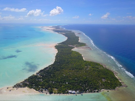
...help to improve maritime transport links between Abaiang, Nonouti, Tabiteuea and Beru, and the capital island of Tarawa. The data is now being processed by the contractor. Once all work...
...help to improve maritime transport links between Abaiang, Nonouti, Tabiteuea and Beru, and the capital island of Tarawa. The data is now being processed by the contractor. Once all work...

...maritime information. Recognising that large quantities of hydrographic data often come in varied formats, the UKHO is embracing AI as a means of streamlining workflows, unlocking new insights, and ultimately...
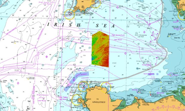
...former direction of ice flow was from northeast to southwest. Image credit: UKHO (2022). Arguably the most impressive subglacial landform in the newly surveyed area is the extensive field...
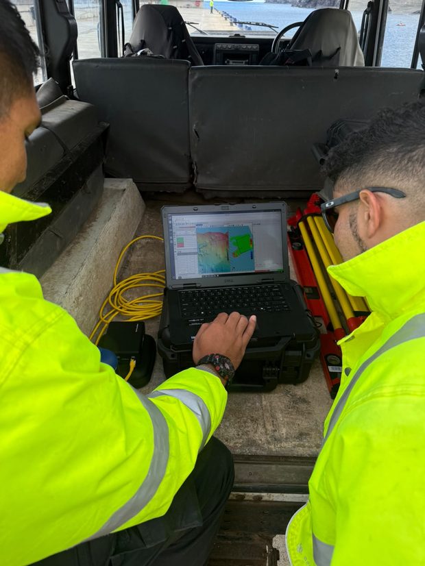
...information used to update official navigational products. Building capability through practical training The capacity development has formed part of a longstanding partnership between the UKHO and St Helena Government, which...
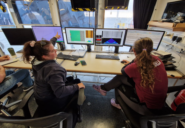
...was no longer the best option. The decision was made to move to a second site off South Devon, which meant developing new priorities while we were underway. The possibility...

...discover how new technologies are being used so widely across government and share what we have been working on. We were there to present our work on detecting uncharted hazards...
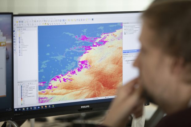
...learnt to see what we do in a new light. Where once it was possible to treat information as ‘raw material’ for a production process, we are now managing it...
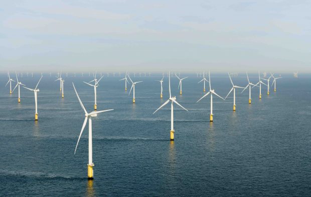
...increasingly reliant on our ocean resources to meet the needs of today’s fast-changing world, particularly with growing industries such as maritime trade, tourism and renewable energy, as well as new...
Enter your email address to: subscribe for updates when new posts are published manage your existing subscription. Submit Please read our privacy notice to see how the GOV.UK blogging platform...
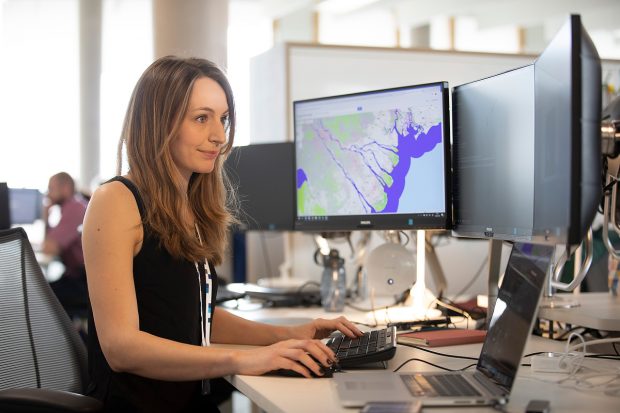
...supports better use of our coastal environment. The UKHO handle vast amounts of seabed mapping data for coastal waters. We're now working with partners to ensure this can be easily...