Collaboration
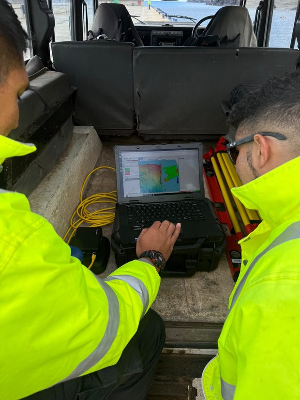
Through its partnership with St Helena Government, the UKHO is helping build local hydrographic capability by loaning specialist equipment and providing training and expertise. The programme enables local teams to collect vital seabed mapping data that supports safe navigation and informed management of the marine environment.
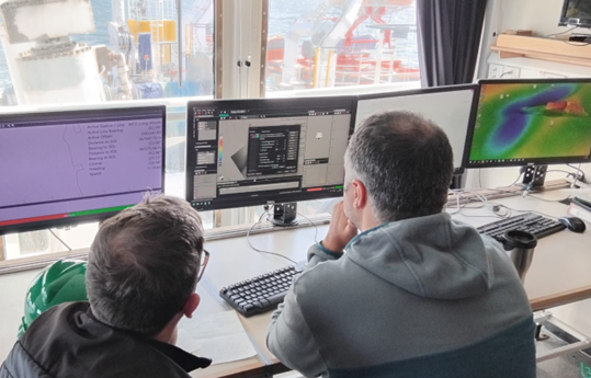
Joseph Pearce, Lead Geospatial Specialist – Geodesy and PNT, UKHO, shares insights from onboard the first leg of the ‘CSM2026’ survey – a collaborative seabed mapping survey, coordinated by the UK Centre for Seabed Mapping (UK CSM). Taking place off …
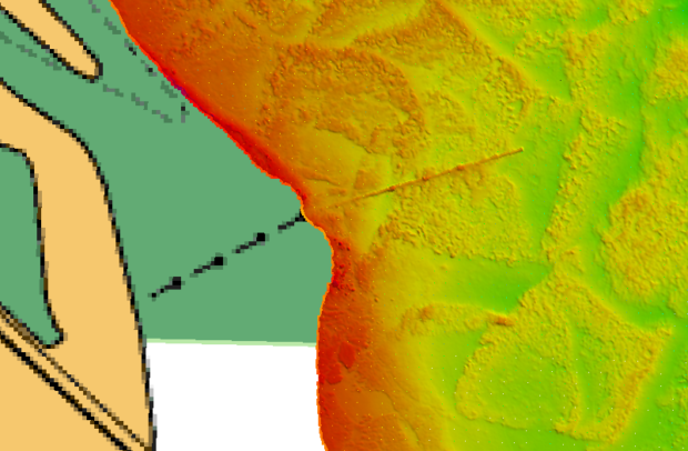
Calling UK government, Crown Dependency, Overseas Territory and private sector colleague participation A clear understanding of our Subsea National Infrastructure (SNI) is crucial to the UK, Crown Dependencies and Overseas Territories. Location-based data depicting SNI is important to a range …
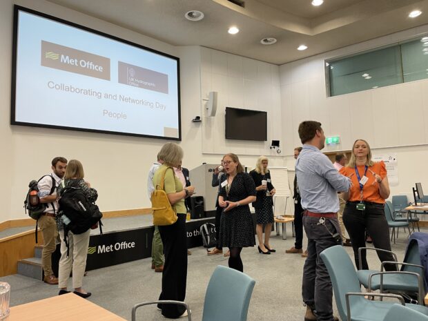
The UK Hydrographic Office (UKHO) and the Met Office strengthened their long-standing relationship earlier this year by signing a Memorandum of Understanding (MoU). To maintain momentum, the UKHO and Met Office arranged a day of collaboration hosted by the Met Office, exploring their shared understanding and learnings on the topic of ‘our people’.