Improving the way we process big data
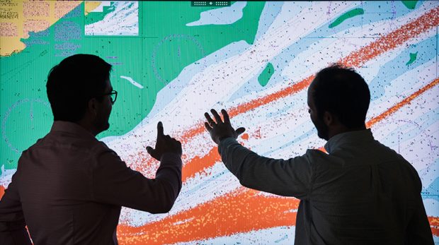
...– from tracking the use of our products, to verifying the accuracy of new navigational information. How we used to process AIS data Previously, we used to store all our...
...– from tracking the use of our products, to verifying the accuracy of new navigational information. How we used to process AIS data Previously, we used to store all our...
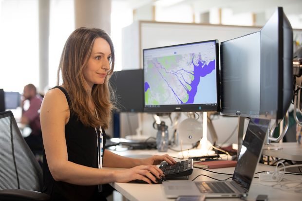
...for users and collectors of coastal geospatial data from occasional users through to qualified collectors. The guide will assist users finding the most appropriate data, explain which datums and standards...
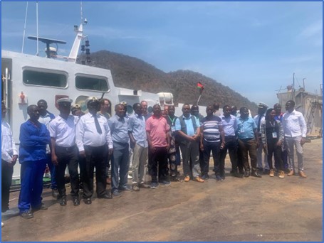
...and marine users operating in the region. To achieve this, the African Great Lakes and Rivers sub Working Group (AGLRsWG) was established, comprising industry stakeholders and government representatives from Kenya,...
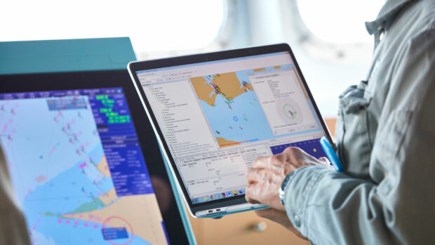
...our working group partners, the diverse range of potential ECS users represents a higher number of mariners than those who use ECDIS solutions. This shows how important it is for...
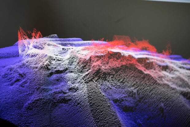
...understanding of our changing climate and the effect it has on the marine environment. Unfortunately current models use data that is up to 80% incomplete, with calculations that are based...
When posting comments, please observe our site participation guidelines: be respectful of others who use this site stay on topic keep comments concise do not use language that is offensive,...
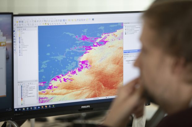
...much wider uses for the breadth of data we hold, beyond just navigation, to help others make use of our oceans in safe and responsible ways. As such, we have...
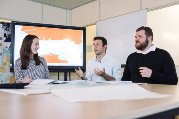
...we offered a prize for the best Guild. We use Yammer as the tool to form the groups and to help share resources and knowledge. In May, we ran a...
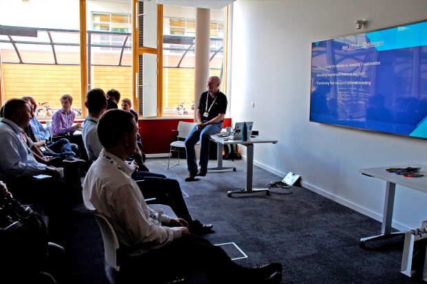
...our use of test automation. Used to help us test software changes to our ADMIRALTY products, it's reduced the time and effort required to deploy to live by automating all...
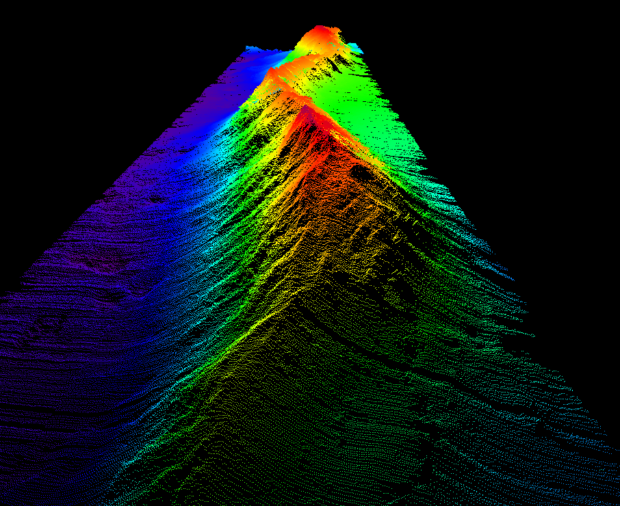
...underwater environment. Could you provide an insight into how different hydrographic surveying techniques were used during the expedition? RSC: We mainly used sonar to measure water depths. This works...