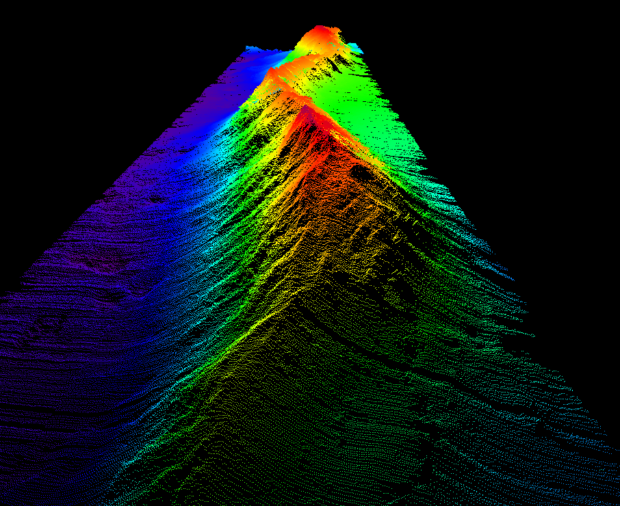
In January 2026, the Blue Belt Programme embarked on its first expedition across the Caribbean, charting the previously unexplored waters of Anguilla, the Turks and Caicos Islands and the Cayman Islands. A team of 46 marine scientists spent six weeks …
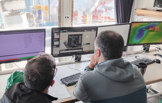
Joseph Pearce, Lead Geospatial Specialist – Geodesy and PNT, UKHO, shares insights from onboard the first leg of the ‘CSM2026’ survey – a collaborative seabed mapping survey, coordinated by the UK Centre for Seabed Mapping (UK CSM). Taking place off …
For several years, the UKHO has been actively investing in modern data technologies, including artificial intelligence (AI) and machine learning (ML), to transform how it processes, structures, and delivers critical maritime information. Recognising that large quantities of hydrographic data often …
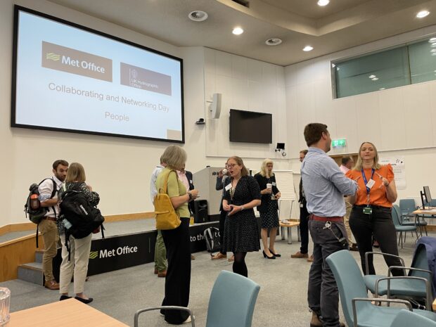
The UK Hydrographic Office (UKHO) and the Met Office strengthened their long-standing relationship earlier this year by signing a Memorandum of Understanding (MoU). To maintain momentum, the UKHO and Met Office arranged a day of collaboration hosted by the Met Office, exploring their shared understanding and learnings on the topic of ‘our people’.