While the second leg of CSM2026 concluded in May, the value of the data collected continues to be realised. Elizabeth Davis, Senior Geospatial Information Specialist at the UKHO, reflects on her time aboard the survey vessel and the collaboration that helped deliver environmental, hydrographic and marine heritage investigations.
Building on the first survey leg
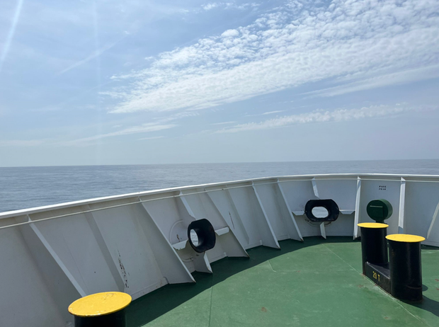
When we left Falmouth on Tuesday 5 May for the second leg of CSM2026 and arrived back at the survey site off the north Cornish coast on Wednesday 6 May, the data collected during the first two weeks was already helping us identify where to focus our environmental investigations and where further survey work could add the most value.
During transit to the survey site, the team aboard were introduced to one another and briefed on the goals. The hydrographic objectives for the leg were to complete bathymetric data collection in areas identified during the first leg, while also carrying out wreck investigations and feature checks to support navigational chart updates and marine heritage projects.
From seabed data to environmental evidence
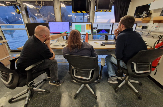
One of the most interesting things I observed on board was how data gathered for hydrographic purposes could also support environmental investigations. Features visible in the bathymetry and backscatter data helped colleagues decide where to collect samples and capture seabed imagery that form the foundation for habitat mapping and environmental monitoring.
This collaborative approach was particularly significant, as it marked the first time the vessel had supported such a diverse range of scientific activities during a single survey.
The scale of activity at the first survey site was impressive. During this leg, scientists carried out:
- Two wreck investigations and multiple feature checks to support the work of Historic England
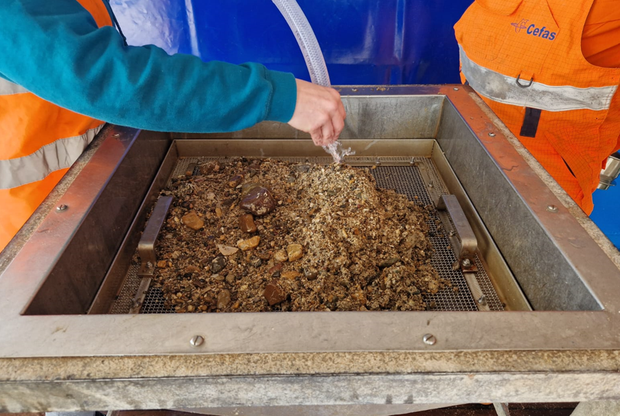
- 52 particle size analysis (PSA) sample collections
- 46 macrofauna sample collections
- 46 video tows, capturing hundreds of images of marine life and geological features
- 340 km² of seabed surveyed at the first site
The grab samples were collected under the remit of the UK Civil Hydrography Programme (CHP) for the Maritime and Coastguard Agency (MCA), and habitat mapping purposes for Centre for Environment, Fisheries and Aquaculture Science (Cefas), Natural England and Joint Nature Conservation Committee (JNCC). Despite each organisation having their own specialisms and objectives, scientists from all departments assisted across the acquisition activities onboard to encourage the sharing of research, analysis and skill development.
When the plan changed…
Midway through the leg, worsening weather meant continuing work at the original survey site was no longer the best option. The decision was made to move to a second site off South Devon, which meant developing new priorities while we were underway.
The possibility of poor weather had been considered during the planning stages, and contingency sites identified. As the vessel travelled to the new site, the team worked together to identify alternative priorities based on equipment capabilities, existing data and shared objectives. The range of expertise on board the RV Cefas Endeavour enabled the team to switch to other valuable activities when plans changed.
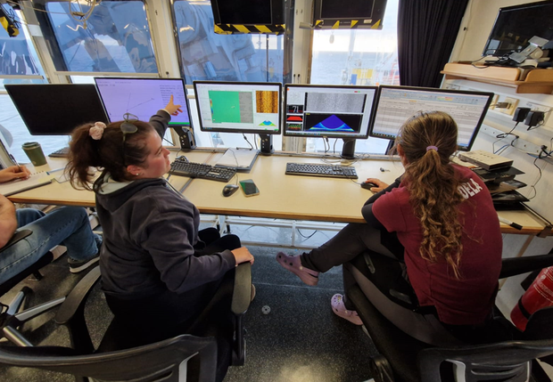
The weather did not improve over the following days, so we remained at the second survey site to make the most of the time available. Although conditions limited us to collecting bathymetry and backscatter data, the team adapted by moving to 24-hour multibeam acquisition. This demanded a huge amount of teamwork from everyone on board.
Despite the challenging conditions, the total area surveyed of this second site was 70km², including six further wreck investigations.
Bringing the survey to a close
The RV Cefas Endeavour returned to Falmouth on the evening of Monday 18 May, with the scientific crew disembarking the following morning, marking the end of the survey.
Following the four-week deployment, data was brought back by the respective organisations for further analysis. At the UKHO, the bathymetric data collected as part of the CHP will now be processed to support the UK’s Safety of Life at Sea (SOLAS) obligations and future navigational chart updates.
One survey, many outcomes
While the survey had come to an end, the value of the data gathered was beginning to be realised.
CSM2026 demonstrated how data collected once can support the objectives of multiple organisations. Throughout the survey, hydrographic, environmental and marine heritage investigations were carried out alongside one another, helping maximise the value of time spent at sea.
Over the course of the two survey legs, the team surveyed 410 km² of seabed. To put that into context, this is more than the area of the Isle of Wight.
As the first multi-agency, cross-government seabed mapping survey of its kind, CSM2026 demonstrated how organisations can share resources, knowledge and expertise to build a better understanding of the UK's marine environment.
Leave a comment