Furthering collaboration on UK subsea infrastructure data

Furthering collaboration on UK subsea infrastructure data
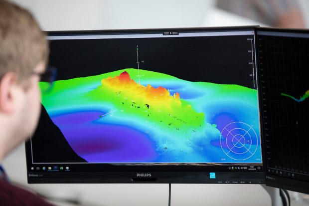
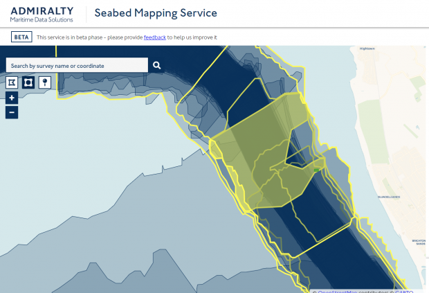
Calling UK government, Crown Dependency, Overseas Territory and private sector colleague participation A clear understanding of our Subsea National Infrastructure (SNI) is crucial to the UK, Crown Dependencies and Overseas Territories. Location-based data depicting SNI is important to a range …