Supporting Seabed 2030
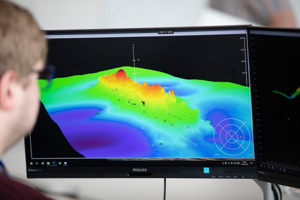
Helena Patton, International Bodies and Technical Engagement Strategy Manager, discusses how the UKHO will be supporting Seabed 2030 and how your input could help the team map 100% of the seafloor.
Helena Patton, International Bodies and Technical Engagement Strategy Manager, discusses how the UKHO will be supporting Seabed 2030 and how your input could help the team map 100% of the seafloor.
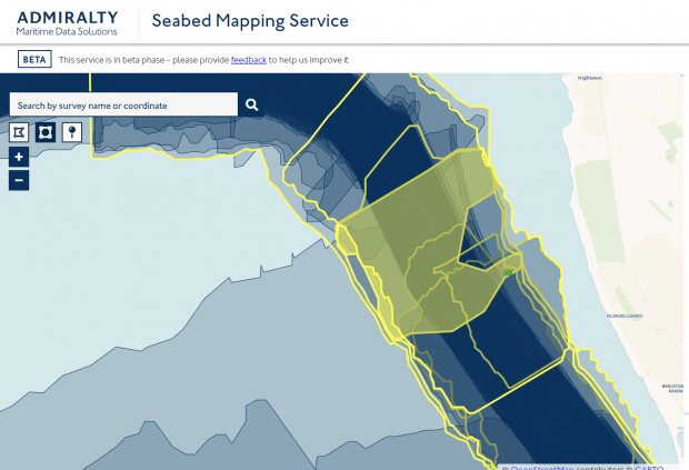
For over 225 years, mariners have relied upon our charts, publications and data. But as the needs of users continue to evolve, so is our approach to delivering data, products and services - putting UX at the heart of what we do.
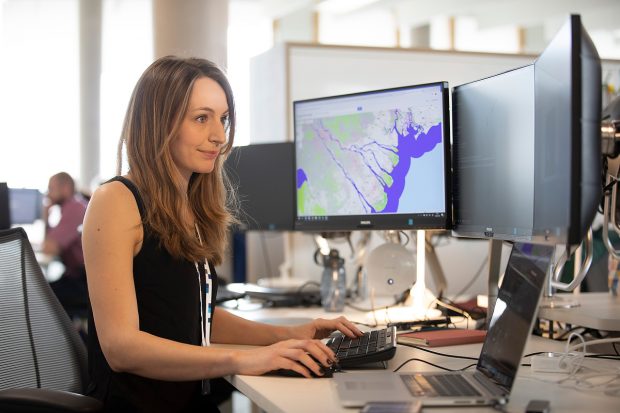
Creating an accurate geospatial picture of our coastlines can be a challenge. Find out how we're working with the Geospatial Commission and partners across UK government to improve the way we map our coastal zone.

As a government agency, we get to exchange skills and knowledge with our partners - this was the aim of a Test Engineering exchange programme organised in partnership with the Met Office.
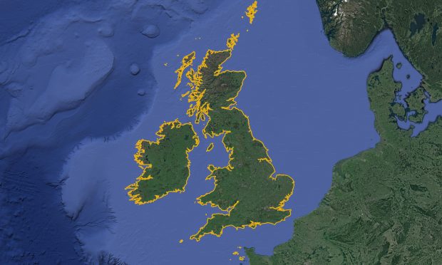
Find out how we've automated the creation of a new coastline data set by combining satellite imagery and computer vision techniques.
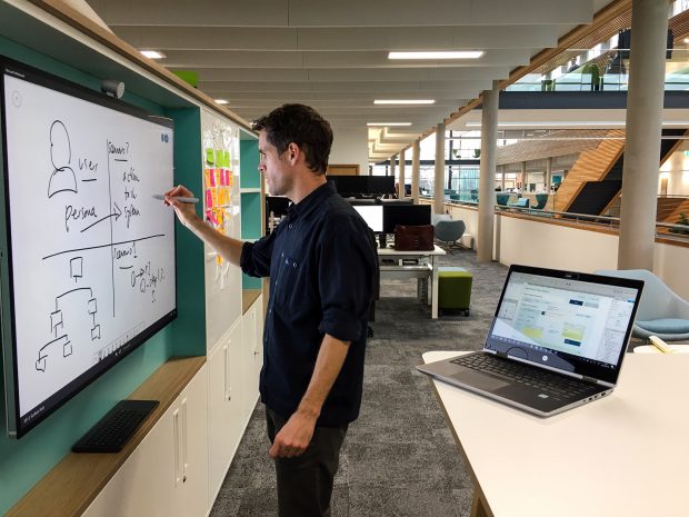
At the UKHO, we provide a range of products, services and data sets to help others with critical decision-making. Whatever the user need, we’re always looking to provide the best user experience, which is why we've developed our new design system.
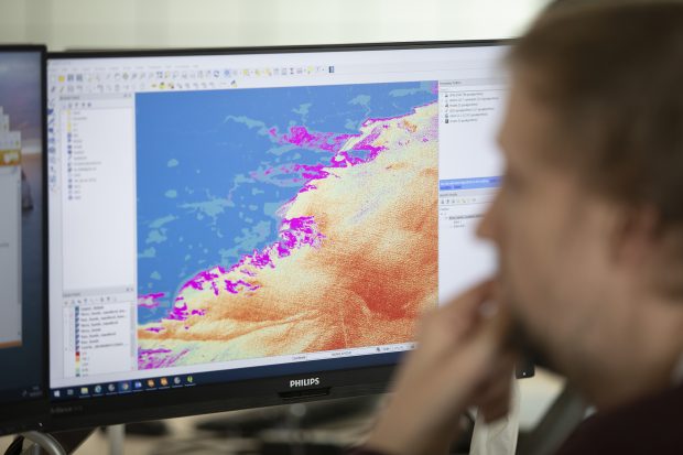
At the UKHO, handling marine data is at the core of what we do. Each year we receive wide-ranging information from across the globe - so we've developed a set of principles to guide us on how we should manage our data.
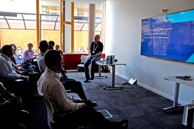
Meetups are a great way of sharing challenges, processes and solutions with other organisations. In June, we held a meetup on software testing with our government partners to discuss test automation practices.
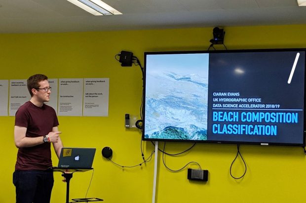
GDS' Data Science Accelerator Programme helps people in the public sector develop their data science skills. Read about UKHO's Software Engineer Ciaran Evans' project as part of the programme.
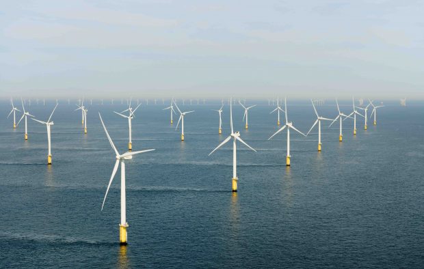
Our oceans are critical to so many aspects of our day-to-day lives, but how do we unlock their full economic potential? The key lies in accurate, comprehensive marine geospatial data.